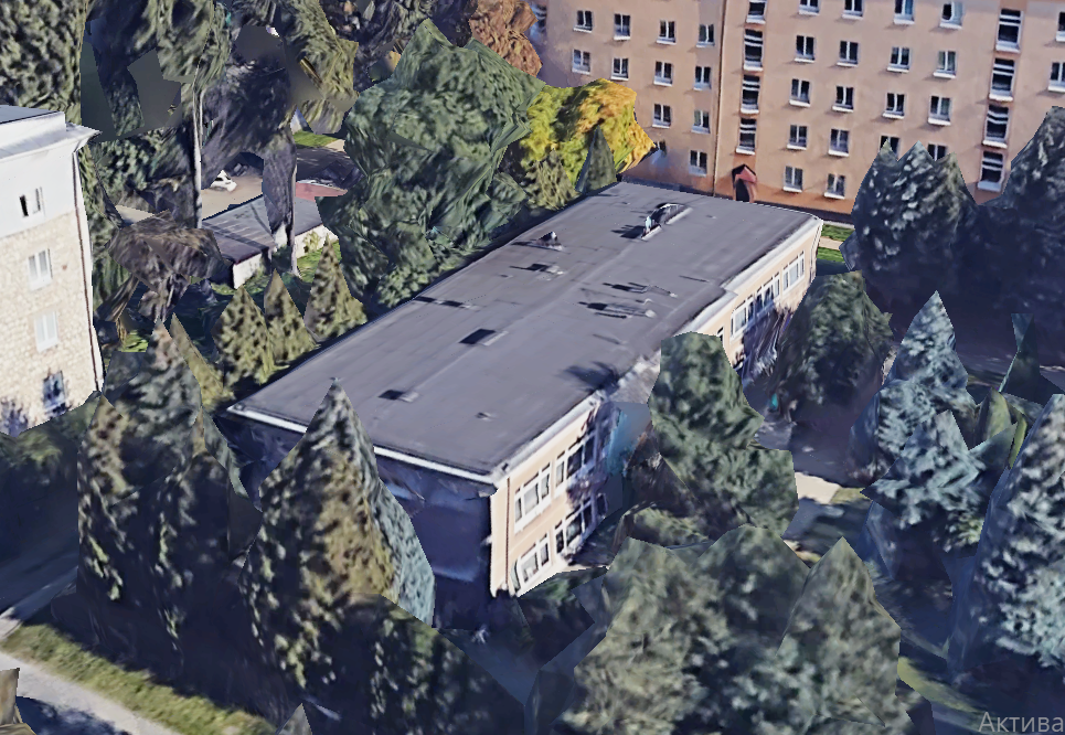
Hello, I encountered a problem while creating a 3D model using Google Solar API. When i turn on the terrain model it elevates my already existing 3D object and all in all shows differently than it's supposed to be. Maybe I'm missing something, but i don't know.
It's supposed to look like this, but...
I
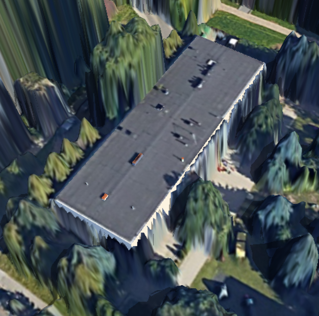
Instead it looks like this:
It kind of generates the original building copied off the google maps under my 3D structure and if I choose the option of cutting out the terrain model it only does this around my structure (as it says so) and if i decrease the overall height of the building to 0 (using the "Proper height" button) - it looks good but i fear it may hinder the preciseness of shading simulation.
How it looks with 0 height:
Overall my question is - is there a more elegant and precise way to generate terrain model excluding the terrain under my building?
I would be very glad for an answer! :)
Thanks


")